CMD
The Electromagnetic Conductivity Meters CMD represent a large family of contactless geophysical instruments for fast assessment of ground conductivity and of inphase (susceptibility). Single or multi depth probes (EXPLORER) designed for 0.5 – 9 m depth range allow single or multi layer mapping in classic or GPS modes including vehicle applications. Due to high temperature stability and calibration accuracy CMD systems open correct way for electromagnetic inversion with sections (layered or gradient structures) well matched with DC imaging. This easy way could be especially appreciated under exacting field conditions like dry and icy soil.
The comfortable and transparent way of operation minimises requirements for user keeping a wide range of measuring highlights and reliability at the same time:
- two manual and two continuous measuring modes with GPS or length mark positioning
- minimum need of settings and calibration checking
- high resistance against electromagnetic noise
- very low weight and power consumption
- good visibility of the graphic display under all conditions
- large memory capacity
- easy data transfer to PC using USB channel or USB flash disk
- compatibility with inversion and mapping SW (IX1D, Res2DInv/Res3DInv, Surfer)
-
- What is CMD instrument?
- It is an electromagnetic conductivity meter (EM instrument working at a low induction number) providing calibrated values of apparent conductivity as well as inphase quantity measured with the specified depth range. (Not to be confused with electromagnetic ppt meters working in a wide range of induction numbers without specified depth range.)
- What is CMD instrument?
-
- Is CMD multifrequency instrument?
- No, it is a multidepth, frequency domain instrument. The selection of working frequency is connected with linearity of the calibration curve according to the distance of magnetic dipoles.
- Is CMD multifrequency instrument?
-
- What is the orientation of magnetic dipoles?
- CMD contains one or more coplanar sensors. This system provides mutual consistency of their individual depth ranges based on the same shape of antenna diagrams. Thus an easier possibility of EM inversion is achieved.
- What is the orientation of magnetic dipoles?
-
- Compatibility of control units with probes
- CMD control unit can operate all single depth and multidepth CMD probes allowing firmware upgrade via internet.
- Compatibility of control units with probes
-
- EM inversion tools
- The choice of commercially available software for EM inversion is currently extremely poor. There is only a limited family of 1D EM inversion SW (as IX1D by Interpex) and no available 2D and 3D tool for EM inversion. Given the circumstances we have found a useful replacement for EM 2D and 3D inversions made by 2D and 3D inversion SW for DC methods. In addition, CMD is equipped with 1D in-situ EM inversion which converts individual multidepth measurements into 2 layered model (upper layer and bottom layer conductivities and depth of their border).
- EM inversion tools
-
- Depth ranges and method of calibration
- Each CMD probe has two depth ranges – high depth range with vertical orientation of magnetic dipoles and low depth range with horizontal orientation of magnetic dipoles. A separate calibration for each orientation of the probe is provided.
- Depth ranges and method of calibration
DOWNLOAD PRODUCT BROCHURE
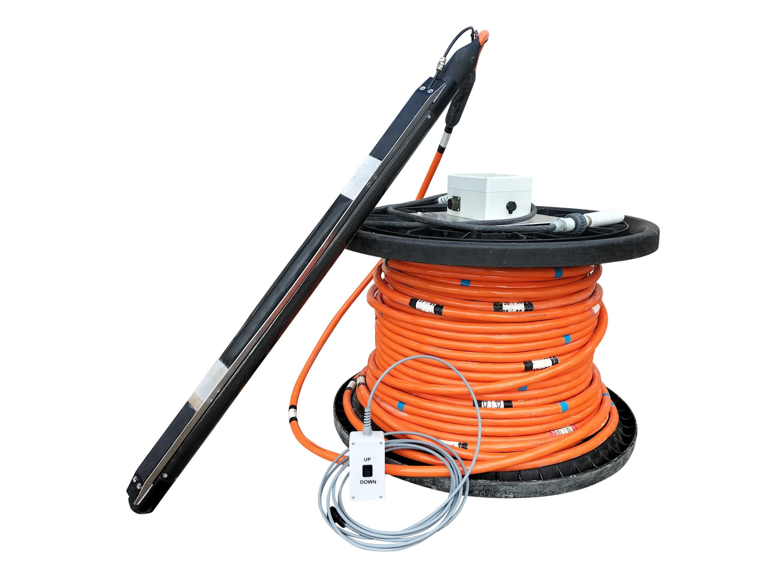
Manufactured by Geotomographie GmbH
Technical Details
Generated wave types: SV
Signal frequencies: Up to 500 Hz (depending on geology and borehole distance)
Operational depth: Up to 100 m
Source length: 1015 mm
Source weight: 6 kg
Cable weight per metre: 377 g
Borehole diameter: 75-100 mm (or larger if spacers are used)
Clamping system: Infatable bladder
Depth indicator: Cable marking every 2 m
Connector: To impulse generator IPG800 or IPG5000
Storage: On drum
Switch box: Switch between two vertical shot directions

