AUSTRALIA’S FIRST EVER MINING-EXPLORATION BORHOLE GRAVITY SURVEYS
TWO SURVEY PROGRAMS HAVE NOW BEEN CONDUCTED AT SOUTH AUSTRALIAN PROJECTS
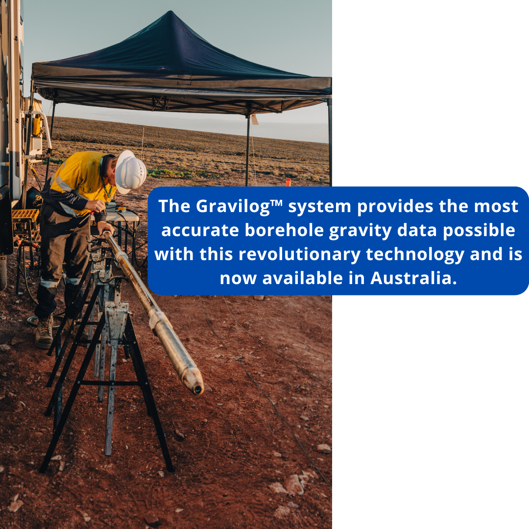
The Gravilog tool is manufactured by Scintrex Ltd who have provided outstanding remote support and assistance. Operated by a trained Geosensor field team with our borehole wireline trucks and systems. The Data modelling, processing and inversions are offered in partnership by experienced Borehole Gravity geophysicists at Abitibi Geophysics.
BASIC STATISTICS INCLUDE:
- 50mm Gravilog tool operated in NQ and HQ hole diameters.
- 4 x boreholes surveyed with the deepest being 800m depth. (Gravilog capable of +1000m depths subject to temperature and pressure).
- Total meters travelled in hole / logging by the Gravilog tools: 5260m overall (all holes logged repeatedly to collect repeat stations)
- Total stations surveyed in the boreholes: 212 stations including repeat readings. At each station we take between 3 and 5 consecutive readings.
- The average STANDARD DEVIATION of 212 stations was 3.475uGal *
*These were diamond drilled open holes and although this is an excellent result, we believe surveys with even better SD’s are achievable in cased holes or run inside the drill rods.


DEPLOYMENT IN AUSTRALIAN CONDITIONS
In December 2021, Geosensor successfully conducted the first Gravilog survey in Australia . The survey proved successful in Australian field conditions, focusing on repeatability and field deployment techniques.
Gravilog data is useful for several purposes including:
- Measurement of ore body density.
- Measurement of overburden density.
- Remote sensing of high-density contrast ore bodies.
- Assessing the density of off well conductors detected by electromagnetic or resistivity surveys.
- Assisting in the interpretation of surface gravity survey data.
GRAVILOG SPECIFICATIONS


